Wheat field near Exning
Introduction
The photograph on this page of Wheat field near Exning by Bob Jones as part of the Geograph project.
The Geograph project started in 2005 with the aim of publishing, organising and preserving representative images for every square kilometre of Great Britain, Ireland and the Isle of Man.

There are currently over 7.5m images from over 14,400 individuals and you can help contribute to the project by visiting https://www.geograph.org.uk
Wheat field near Exning
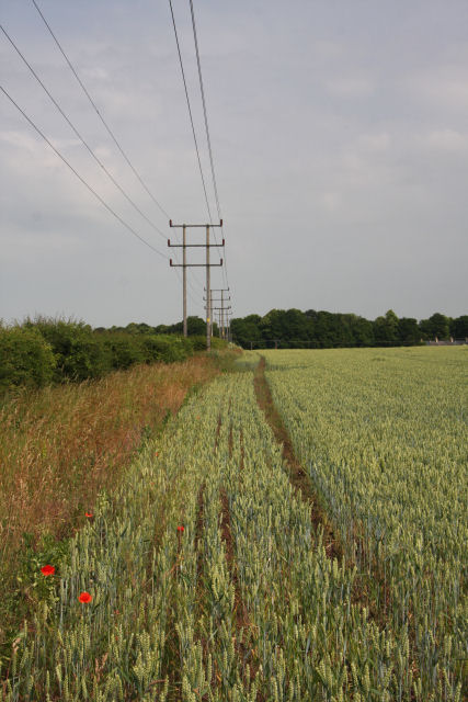
Image: © Bob Jones Taken: 30 Jun 2010
Heath Road runs in a north-westerly direction to the left of the hedge.
Images are licensed for reuse under creativecommons.org/licenses/by-sa/2.0
Image Location
Latitude
52.257066
Longitude
0.367679