Aldersford Close, SE4
Introduction
The photograph on this page of Aldersford Close, SE4 by Malc McDonald as part of the Geograph project.
The Geograph project started in 2005 with the aim of publishing, organising and preserving representative images for every square kilometre of Great Britain, Ireland and the Isle of Man.

There are currently over 7.5m images from over 14,400 individuals and you can help contribute to the project by visiting https://www.geograph.org.uk
Aldersford Close, SE4
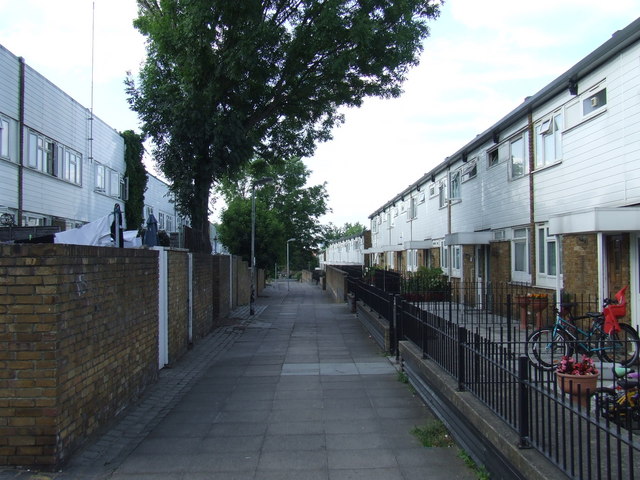
Image: © Malc McDonald Taken: 27 Jun 2010
Housing built on the site of a disused railway. The branch line from Nunhead to Crystal Palace High Level passed this point, until its closure in 1954.
Images are licensed for reuse under creativecommons.org/licenses/by-sa/2.0
Image Location
Latitude
51.458125
Longitude
-0.045446