Former section of Hay to Glasbury road
Introduction
The photograph on this page of Former section of Hay to Glasbury road by Jaggery as part of the Geograph project.
The Geograph project started in 2005 with the aim of publishing, organising and preserving representative images for every square kilometre of Great Britain, Ireland and the Isle of Man.

There are currently over 7.5m images from over 14,400 individuals and you can help contribute to the project by visiting https://www.geograph.org.uk
Former section of Hay to Glasbury road
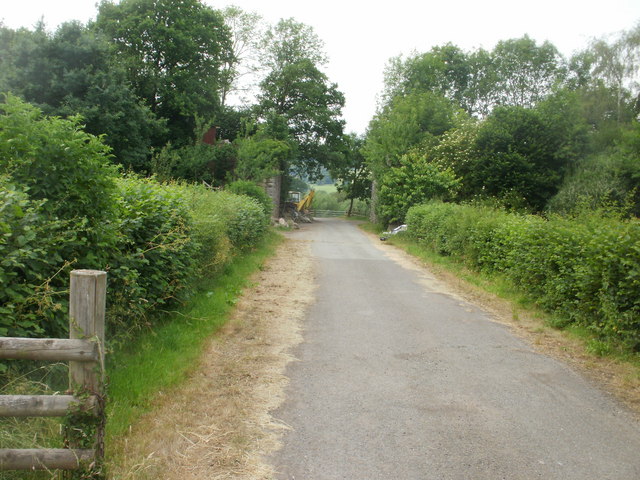
Image: © Jaggery Taken: 30 Jun 2010
This apparently nondescript view has historical interest for two reasons. The road now leads to fields, but formerly was part of the B4350 from Hay-on-Wye. The road was straightened to follow a route a little to the south, bypassing this section. Secondly, the road leads to the remains http://www.geograph.org.uk/photo/1940829 of a railway bridge, part of the former Hereford, Hay and Brecon Railway which opened for traffic in 1864 and closed (as part of the nationalised British Railways) in 1962.
Images are licensed for reuse under creativecommons.org/licenses/by-sa/2.0
Image Location
Latitude
52.048819
Longitude
-3.185488