Bovingdon Brickworks Yard
Introduction
The photograph on this page of Bovingdon Brickworks Yard by Tom Presland as part of the Geograph project.
The Geograph project started in 2005 with the aim of publishing, organising and preserving representative images for every square kilometre of Great Britain, Ireland and the Isle of Man.

There are currently over 7.5m images from over 14,400 individuals and you can help contribute to the project by visiting https://www.geograph.org.uk
Bovingdon Brickworks Yard
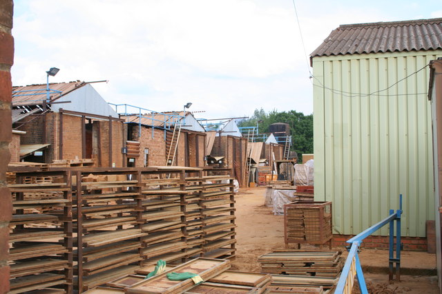
Image: © Tom Presland Taken: 25 Jun 2010
The yard at Bovingdon Brickworks. Clay comes from the quarry on the other side of the road. The quarry will eventually be converted into a fishing Lake. The Brickworks was established in 1936.
Images are licensed for reuse under creativecommons.org/licenses/by-sa/2.0
Image Location
Latitude
51.716914
Longitude
-0.546629