Track to West Fen
Introduction
The photograph on this page of Track to West Fen by Bob Jones as part of the Geograph project.
The Geograph project started in 2005 with the aim of publishing, organising and preserving representative images for every square kilometre of Great Britain, Ireland and the Isle of Man.

There are currently over 7.5m images from over 14,400 individuals and you can help contribute to the project by visiting https://www.geograph.org.uk
Track to West Fen
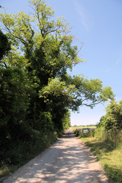
Image: © Bob Jones Taken: 28 Jun 2010
This track is a continuation of Landwade Road, which ends just short of this point. It leads to a low-lying area of farmland and is not a public right of way.
Images are licensed for reuse under creativecommons.org/licenses/by-sa/2.0
Image Location
Latitude
52.287187
Longitude
0.367819