Road, Larbert House
Introduction
The photograph on this page of Road, Larbert House by Richard Webb as part of the Geograph project.
The Geograph project started in 2005 with the aim of publishing, organising and preserving representative images for every square kilometre of Great Britain, Ireland and the Isle of Man.

There are currently over 7.5m images from over 14,400 individuals and you can help contribute to the project by visiting https://www.geograph.org.uk
Road, Larbert House
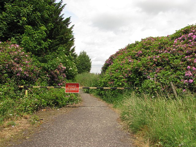
Image: © Richard Webb Taken: 23 Jun 2010
Now closed and no longer used by vehicles, this road is being lost to the rhododendron.
Images are licensed for reuse under creativecommons.org/licenses/by-sa/2.0
Image Location
Latitude
56.019681
Longitude
-3.840385