Footpath to Landwade Farm
Introduction
The photograph on this page of Footpath to Landwade Farm by Bob Jones as part of the Geograph project.
The Geograph project started in 2005 with the aim of publishing, organising and preserving representative images for every square kilometre of Great Britain, Ireland and the Isle of Man.

There are currently over 7.5m images from over 14,400 individuals and you can help contribute to the project by visiting https://www.geograph.org.uk
Footpath to Landwade Farm
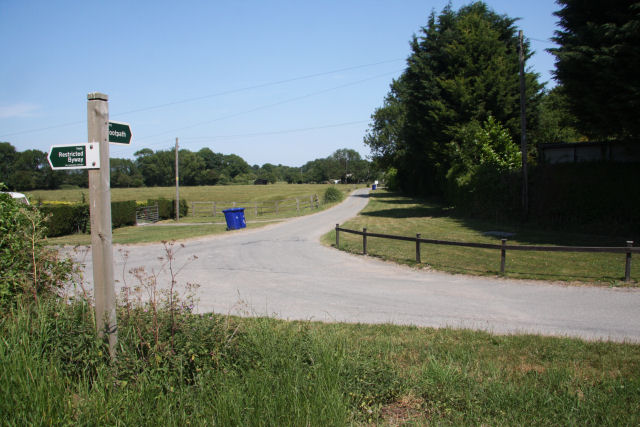
Image: © Bob Jones Taken: 28 Jun 2010
The signpost indicates the junction of a footpath, which leads to Landwade Farm, and a restricted byway. The footpath initially follows a metalled farm track. The restricted byway links the hamlet of Landwade with North End road.
Images are licensed for reuse under creativecommons.org/licenses/by-sa/2.0
Image Location
Latitude
52.285906
Longitude
0.368924