Brassica crop near North End House
Introduction
The photograph on this page of Brassica crop near North End House by Bob Jones as part of the Geograph project.
The Geograph project started in 2005 with the aim of publishing, organising and preserving representative images for every square kilometre of Great Britain, Ireland and the Isle of Man.

There are currently over 7.5m images from over 14,400 individuals and you can help contribute to the project by visiting https://www.geograph.org.uk
Brassica crop near North End House
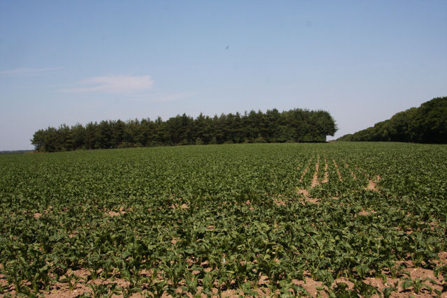
Image: © Bob Jones Taken: 28 Jun 2010
This field lies east of North End road. The copse at the top of the field is not shown on the OS map.
Images are licensed for reuse under creativecommons.org/licenses/by-sa/2.0
Image Location
Latitude
52.275841
Longitude
0.364136