Gouthwaite Reservoir, Nidderdale
Introduction
The photograph on this page of Gouthwaite Reservoir, Nidderdale by Paul Buckingham as part of the Geograph project.
The Geograph project started in 2005 with the aim of publishing, organising and preserving representative images for every square kilometre of Great Britain, Ireland and the Isle of Man.

There are currently over 7.5m images from over 14,400 individuals and you can help contribute to the project by visiting https://www.geograph.org.uk
Gouthwaite Reservoir, Nidderdale
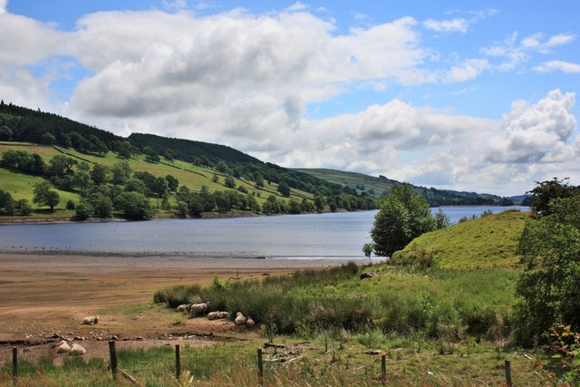
Image: © Paul Buckingham Taken: 29 Jun 2010
Taken from the viewing area just across the road from the Car Park at the top end of the reservoir. The extent of water loss is such that sheep are sheltering on the dry bed of the reservoir.
Images are licensed for reuse under creativecommons.org/licenses/by-sa/2.0
Image Location
Latitude
54.12427
Longitude
-1.809929