Graves in churchyard, Eglwyswrw
Introduction
The photograph on this page of Graves in churchyard, Eglwyswrw by Natasha Ceridwen de Chroustchoff as part of the Geograph project.
The Geograph project started in 2005 with the aim of publishing, organising and preserving representative images for every square kilometre of Great Britain, Ireland and the Isle of Man.

There are currently over 7.5m images from over 14,400 individuals and you can help contribute to the project by visiting https://www.geograph.org.uk
Graves in churchyard, Eglwyswrw
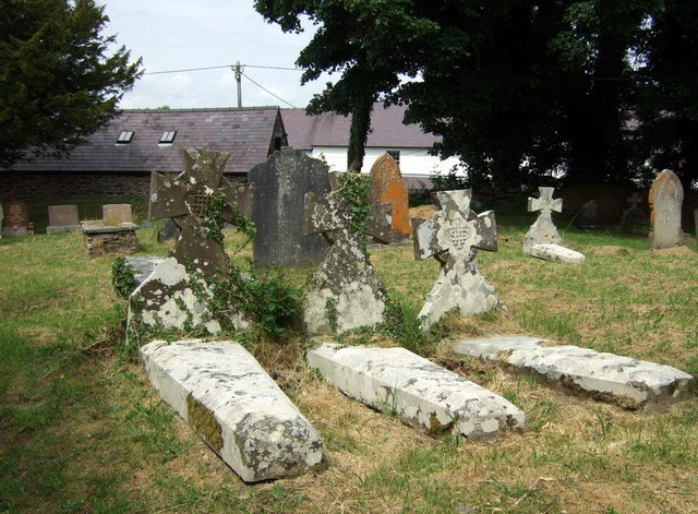
Image: © Natasha Ceridwen de Chroustchoff Taken: 28 Jun 2010
The churchyard surrounding the church is elevated above the road at the western end. One of the many possible etymologies suggested for the name of the village is Eglwys-hwrwg, church on a hillock.
Images are licensed for reuse under creativecommons.org/licenses/by-sa/2.0
Image Location
Latitude
52.013746
Longitude
-4.708574