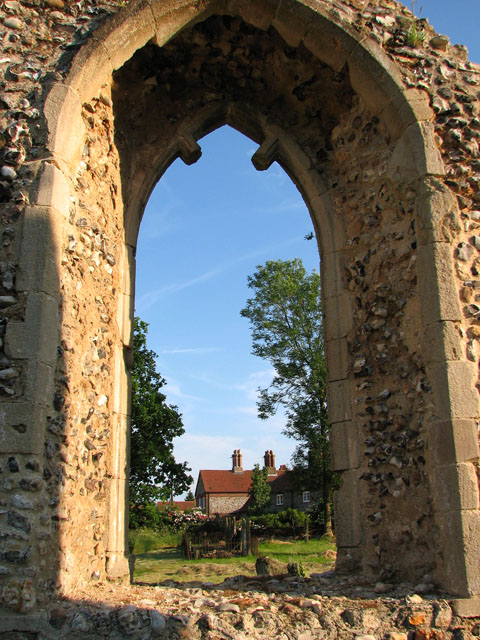
The ruins of St Margaret's church in West Raynham - churchyard
Introduction
The photograph on this page of The ruins of St Margaret's church in West Raynham - churchyard by Evelyn Simak as part of the Geograph project.
The Geograph project started in 2005 with the aim of publishing, organising and preserving representative images for every square kilometre of Great Britain, Ireland and the Isle of Man.
There are currently over 7.5m images from over 14,400 individuals and you can help contribute to the project by visiting https://www.geograph.org.uk

Image: © Evelyn Simak Taken: 27 Jun 2010
View across the churchyard and towards the cottages beyond as seen by looking through one of the nave south windows of the ruined church > http://www.geograph.org.uk/photo/1938746. The ruin of St Margaret's church has recently been made safe for visitors. Trees growing in chancel and nave have been cut down, a modern altar has been placed at the east end and a 'font' was reconstructed by using two capitals and a column section. The church - it was abandoned in the 18th century when the parish was consolidated with East Raynham consisted of a west tower, nave and chancel and its outline can still be clearly discerned.

