Path to Abbey Farm
Introduction
The photograph on this page of Path to Abbey Farm by Michael Patterson as part of the Geograph project.
The Geograph project started in 2005 with the aim of publishing, organising and preserving representative images for every square kilometre of Great Britain, Ireland and the Isle of Man.

There are currently over 7.5m images from over 14,400 individuals and you can help contribute to the project by visiting https://www.geograph.org.uk
Path to Abbey Farm
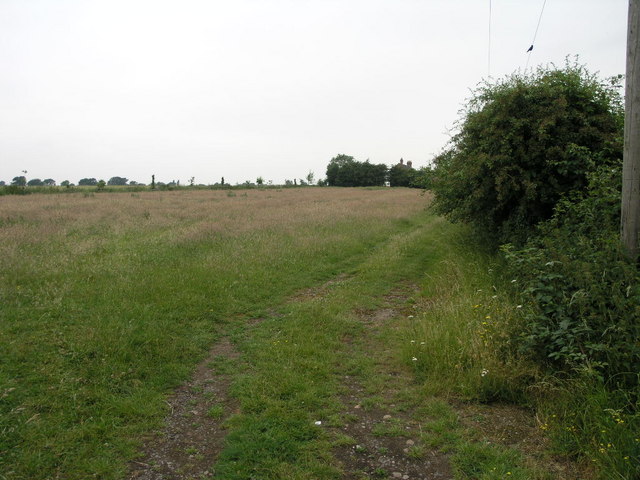
Image: © Michael Patterson Taken: 27 Jun 2006
This footpath, running left to right at the edge of this field, passes by Abbey Farm on its journey to the nearby A5.
Images are licensed for reuse under creativecommons.org/licenses/by-sa/2.0
Image Location


Leaflet Map data © OpenStreetMap
Latitude
52.498053
Longitude
-1.356246