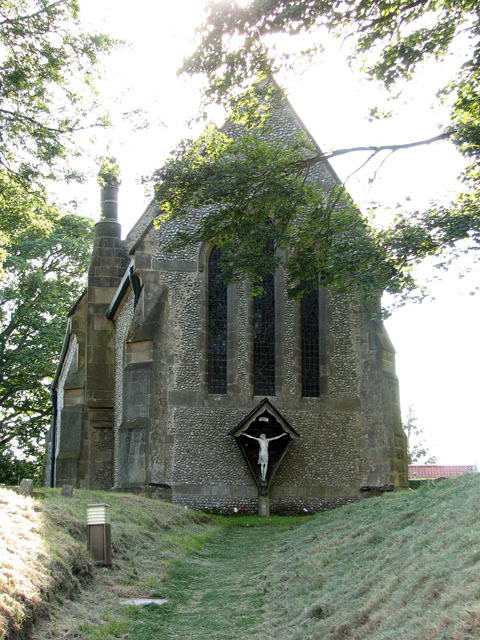
The path to St Margaret's church in Tatterford
Introduction
The photograph on this page of The path to St Margaret's church in Tatterford by Evelyn Simak as part of the Geograph project.
The Geograph project started in 2005 with the aim of publishing, organising and preserving representative images for every square kilometre of Great Britain, Ireland and the Isle of Man.
There are currently over 7.5m images from over 14,400 individuals and you can help contribute to the project by visiting https://www.geograph.org.uk

Image: © Evelyn Simak Taken: 27 Jun 2010
Astro turf has been laid down, covering the gravel path from a few years ago > http://www.geograph.org.uk/photo/282042. St Margaret's church > http://www.geograph.org.uk/photo/1938719 replaced an older church which had become derelict. The present building was constructed in 1862 and consists of nave and chancel only, there is no tower. The east window > http://www.geograph.org.uk/photo/1938724 is by Moira Forsyth and was installed in 1953 and is considered one of the finest modern windows in the county. Two lancet windows > http://www.geograph.org.uk/photo/1938726 in the chancel contain 19th century glass made by Mayer of Munich.

