Hockley Hill
Introduction
The photograph on this page of Hockley Hill by Derek Harper as part of the Geograph project.
The Geograph project started in 2005 with the aim of publishing, organising and preserving representative images for every square kilometre of Great Britain, Ireland and the Isle of Man.

There are currently over 7.5m images from over 14,400 individuals and you can help contribute to the project by visiting https://www.geograph.org.uk
Hockley Hill
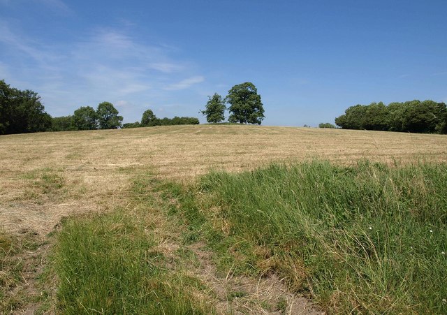
Image: © Derek Harper Taken: 23 Jun 2010
The two prominent trees are those seen more closely in Image This view up the hill is from footpath EHA/4; footpath EHA/5/2 goes from this point past the trees and along the summit ridge. On the left is St Martin's Wood; on the right, Ash Bed.
Images are licensed for reuse under creativecommons.org/licenses/by-sa/2.0
Image Location
Latitude
51.822216
Longitude
-2.316388