The Common, Kinsbourne Green
Introduction
The photograph on this page of The Common, Kinsbourne Green by Rob Farrow as part of the Geograph project.
The Geograph project started in 2005 with the aim of publishing, organising and preserving representative images for every square kilometre of Great Britain, Ireland and the Isle of Man.

There are currently over 7.5m images from over 14,400 individuals and you can help contribute to the project by visiting https://www.geograph.org.uk
The Common, Kinsbourne Green
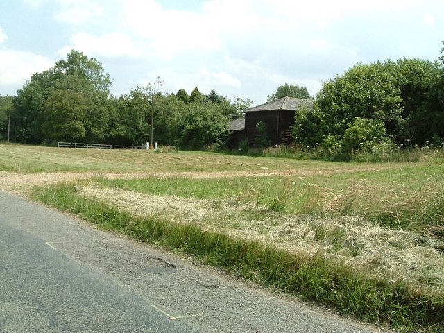
Image: © Rob Farrow Taken: 29 Jun 2006
The lane through the common is itself called The Common, but west of the crossroads at TL106159 it becomes Annables Lane.
Images are licensed for reuse under creativecommons.org/licenses/by-sa/2.0
Image Location


Leaflet Map data © OpenStreetMap
Latitude
51.830755
Longitude
-0.394939