Kensworth High Street
Introduction
The photograph on this page of Kensworth High Street by Rob Farrow as part of the Geograph project.
The Geograph project started in 2005 with the aim of publishing, organising and preserving representative images for every square kilometre of Great Britain, Ireland and the Isle of Man.

There are currently over 7.5m images from over 14,400 individuals and you can help contribute to the project by visiting https://www.geograph.org.uk
Kensworth High Street
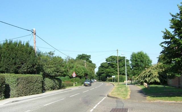
Image: © Rob Farrow Taken: 28 Jun 2006
Looking east towards the Spratts Lane crossroads which is just beyond the bend. (Note that the School sign is clearly visible, but the Crossroads sign is almost hidden in the hedge above the blue car). The road immediately to the right here is a residential close called The Chilterns.
Images are licensed for reuse under creativecommons.org/licenses/by-sa/2.0
Image Location
Latitude
51.850054
Longitude
-0.494433