Footpath leaving Chacefield Wood
Introduction
The photograph on this page of Footpath leaving Chacefield Wood by Lairich Rig as part of the Geograph project.
The Geograph project started in 2005 with the aim of publishing, organising and preserving representative images for every square kilometre of Great Britain, Ireland and the Isle of Man.

There are currently over 7.5m images from over 14,400 individuals and you can help contribute to the project by visiting https://www.geograph.org.uk
Footpath leaving Chacefield Wood
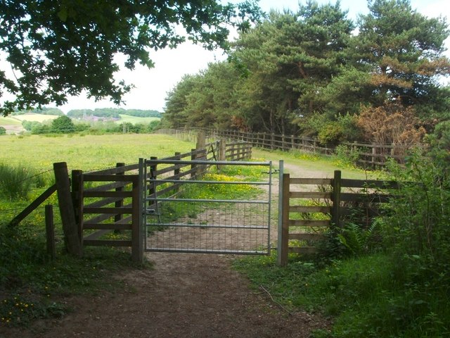
Image: © Lairich Rig Taken: 14 Jun 2010
The path that is shown leading straight ahead in Image leaves the woods at this point, and meets a track, the one that can be seen on the far side of the gate. That track runs parallel to the motorway; from this point, it can be followed either to the north-east (Image) or the south-west (Image).
Images are licensed for reuse under creativecommons.org/licenses/by-sa/2.0
Image Location
Latitude
56.011349
Longitude
-3.880413