Field beside Chacefield Wood
Introduction
The photograph on this page of Field beside Chacefield Wood by Lairich Rig as part of the Geograph project.
The Geograph project started in 2005 with the aim of publishing, organising and preserving representative images for every square kilometre of Great Britain, Ireland and the Isle of Man.

There are currently over 7.5m images from over 14,400 individuals and you can help contribute to the project by visiting https://www.geograph.org.uk
Field beside Chacefield Wood
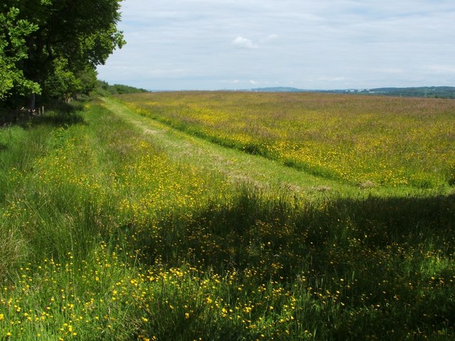
Image: © Lairich Rig Taken: 14 Jun 2010
The photograph shows part of the area that lies between Chacefield Wood, whose southern edge can be seen on the left, and Drove Loan (on whose name, see Image). Some of the chimneys of Grangemouth Refinery are just visible in the distance, near the centre of the image. To the right, some tower blocks in Falkirk can also be seen. The photograph was taken from the point where the path shown in Image enters the woods.
Images are licensed for reuse under creativecommons.org/licenses/by-sa/2.0
Image Location
Latitude
56.009258
Longitude
-3.89956