Maize field near Maghaberry
Introduction
The photograph on this page of Maize field near Maghaberry by Kenneth Allen as part of the Geograph project.
The Geograph project started in 2005 with the aim of publishing, organising and preserving representative images for every square kilometre of Great Britain, Ireland and the Isle of Man.

There are currently over 7.5m images from over 14,400 individuals and you can help contribute to the project by visiting https://www.geograph.org.uk
Maize field near Maghaberry
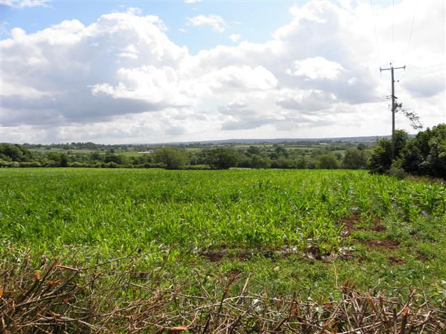
Image: © Kenneth Allen Taken: 27 Jun 2010
You could see that the crop was brought on early, having been planted under a bio-degradable plastic cover
Images are licensed for reuse under creativecommons.org/licenses/by-sa/2.0
Image Location
Latitude
54.503712
Longitude
-6.176428