Outbuildings at Maesgwynne
Introduction
The photograph on this page of Outbuildings at Maesgwynne by Natasha Ceridwen de Chroustchoff as part of the Geograph project.
The Geograph project started in 2005 with the aim of publishing, organising and preserving representative images for every square kilometre of Great Britain, Ireland and the Isle of Man.

There are currently over 7.5m images from over 14,400 individuals and you can help contribute to the project by visiting https://www.geograph.org.uk
Outbuildings at Maesgwynne
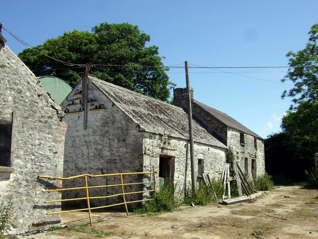
Image: © Natasha Ceridwen de Chroustchoff Taken: 24 Jun 2010
The farmhouse is to the right, out of the picture, but the building at the end, with a chimney, looks as if it was a dwelling once. This was a working farm until recently; much of the land was sold for residential development.
Images are licensed for reuse under creativecommons.org/licenses/by-sa/2.0
Image Location
Latitude
51.990308
Longitude
-4.985976