Path to the Folly
Introduction
The photograph on this page of Path to the Folly by David Roberts as part of the Geograph project.
The Geograph project started in 2005 with the aim of publishing, organising and preserving representative images for every square kilometre of Great Britain, Ireland and the Isle of Man.

There are currently over 7.5m images from over 14,400 individuals and you can help contribute to the project by visiting https://www.geograph.org.uk
Path to the Folly
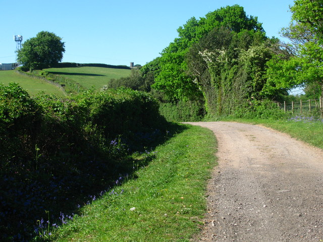
Image: © David Roberts Taken: 23 May 2010
The path from the Shell Grotto, past Twyn-gwyn to Pontypool Folly Tower, visible on the horizon. The path here forms the western border of the Brecon Beacons National Park.
Images are licensed for reuse under creativecommons.org/licenses/by-sa/2.0
Image Location
Latitude
51.70698
Longitude
-3.021529