Western end of Roman Way, Caerleon
Introduction
The photograph on this page of Western end of Roman Way, Caerleon by Jaggery as part of the Geograph project.
The Geograph project started in 2005 with the aim of publishing, organising and preserving representative images for every square kilometre of Great Britain, Ireland and the Isle of Man.

There are currently over 7.5m images from over 14,400 individuals and you can help contribute to the project by visiting https://www.geograph.org.uk
Western end of Roman Way, Caerleon
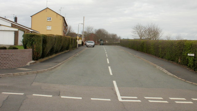
Image: © Jaggery Taken: 5 Apr 2010
Viewed from Lodge Hill. The long hedge on the right, at the western perimeter of Lodge Hill Junior School, is almost matched in length by the hedge on the left, bordering residential properties.
Images are licensed for reuse under creativecommons.org/licenses/by-sa/2.0
Image Location
Latitude
51.61561
Longitude
-2.970514