Consall Plateway
Introduction
The photograph on this page of Consall Plateway by Ian Calderwood as part of the Geograph project.
The Geograph project started in 2005 with the aim of publishing, organising and preserving representative images for every square kilometre of Great Britain, Ireland and the Isle of Man.

There are currently over 7.5m images from over 14,400 individuals and you can help contribute to the project by visiting https://www.geograph.org.uk
Consall Plateway
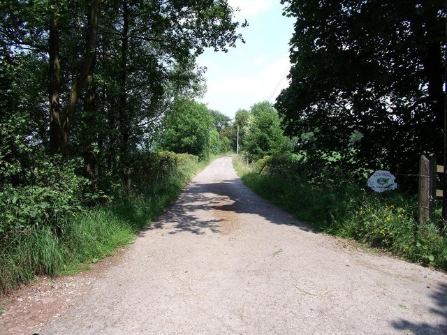
Image: © Ian Calderwood Taken: 26 Jun 2010
Also known as the North Stafford Railway, the plateway was built between 1815 and 1820 to deliver limestone from the canal at Consallforge to wharves along the line down to Weston Coyney. It was not a great success and suffered financial difficulties. The southern sections were abandoned early on and the remainder fell into disuse some time after 1840. This section is now the access road to Knowle Bank Farm.
Images are licensed for reuse under creativecommons.org/licenses/by-sa/2.0
Image Location
Latitude
53.037189
Longitude
-2.041119