Earthworks, Bolsover
Introduction
The photograph on this page of Earthworks, Bolsover by Peter Barr as part of the Geograph project.
The Geograph project started in 2005 with the aim of publishing, organising and preserving representative images for every square kilometre of Great Britain, Ireland and the Isle of Man.

There are currently over 7.5m images from over 14,400 individuals and you can help contribute to the project by visiting https://www.geograph.org.uk
Earthworks, Bolsover
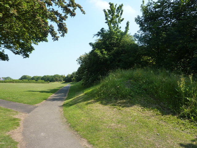
Image: © Peter Barr Taken: 26 Jun 2010
Bolsover Castle is well protected to the west by a sheer drop. The land to the south and east is flatter, and defensive earthworks were built.
Images are licensed for reuse under creativecommons.org/licenses/by-sa/2.0
Image Location
Latitude
53.22582
Longitude
-1.288469