Purewell, Le Patourel Close
Introduction
The photograph on this page of Purewell, Le Patourel Close by Mike Faherty as part of the Geograph project.
The Geograph project started in 2005 with the aim of publishing, organising and preserving representative images for every square kilometre of Great Britain, Ireland and the Isle of Man.

There are currently over 7.5m images from over 14,400 individuals and you can help contribute to the project by visiting https://www.geograph.org.uk
Purewell, Le Patourel Close
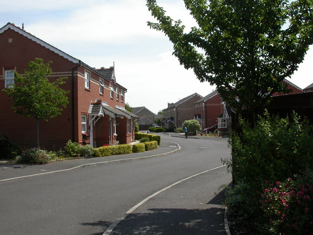
Image: © Mike Faherty Taken: 27 Jun 2010
Modern housing off Normandy Drive; probably named after Herbert Le Patourel, VC-awarded officer in the Hampshire Regiment in 1942.
Images are licensed for reuse under creativecommons.org/licenses/by-sa/2.0
Image Location
Latitude
50.73844
Longitude
-1.763005