Underpass from Glebelands to Charnwood Road, Newport
Introduction
The photograph on this page of Underpass from Glebelands to Charnwood Road, Newport by Jaggery as part of the Geograph project.
The Geograph project started in 2005 with the aim of publishing, organising and preserving representative images for every square kilometre of Great Britain, Ireland and the Isle of Man.

There are currently over 7.5m images from over 14,400 individuals and you can help contribute to the project by visiting https://www.geograph.org.uk
Underpass from Glebelands to Charnwood Road, Newport
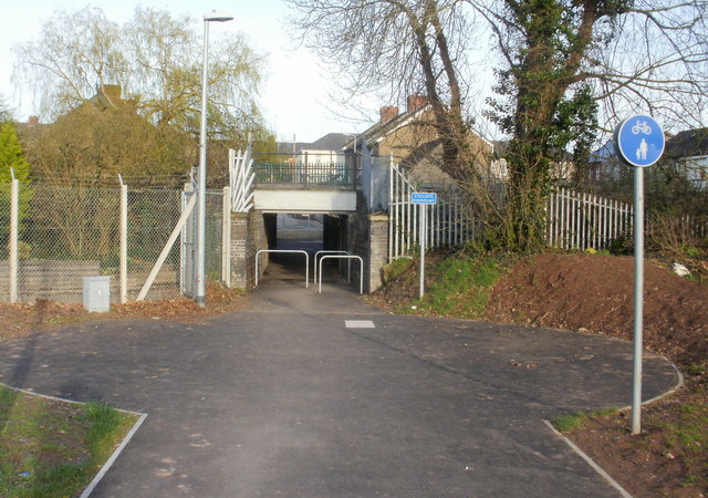
Image: © Jaggery Taken: 4 Apr 2010
The underpass gives a pedestrian route (beneath the Newport to Cwmbran and The North railway line) between the Glebelands and Glan Usk Primary School http://www.geograph.org.uk/photo/1934876 on the camera side, and residential areas adjacent to Caerleon Road on the other side. Vehicles access the school via Bank Street.
Images are licensed for reuse under creativecommons.org/licenses/by-sa/2.0
Image Location
Latitude
51.600194
Longitude
-2.986067