Not quite the top of the High Street
Introduction
The photograph on this page of Not quite the top of the High Street by Roger A Smith as part of the Geograph project.
The Geograph project started in 2005 with the aim of publishing, organising and preserving representative images for every square kilometre of Great Britain, Ireland and the Isle of Man.

There are currently over 7.5m images from over 14,400 individuals and you can help contribute to the project by visiting https://www.geograph.org.uk
Not quite the top of the High Street
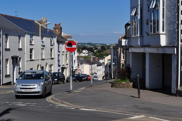
Image: © Roger A Smith Taken: 25 Jun 2010
I assumed that this was the top of the High Street but have been informed that the High Street continues left to the junction with Abbotsham Road, Honestone Street and Old Town.
Images are licensed for reuse under creativecommons.org/licenses/by-sa/2.0
Image Location
Latitude
51.017689
Longitude
-4.20906