Ropeyard Lane
Introduction
The photograph on this page of Ropeyard Lane by Natasha Ceridwen de Chroustchoff as part of the Geograph project.
The Geograph project started in 2005 with the aim of publishing, organising and preserving representative images for every square kilometre of Great Britain, Ireland and the Isle of Man.

There are currently over 7.5m images from over 14,400 individuals and you can help contribute to the project by visiting https://www.geograph.org.uk
Ropeyard Lane
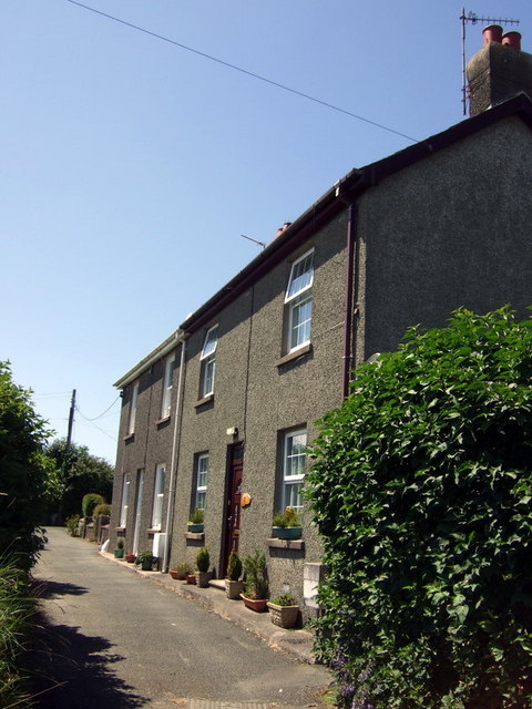
Image: © Natasha Ceridwen de Chroustchoff Taken: 24 Jun 2010
These houses are no doubt contemporary with the rope making industry in Fishguard but the surrounding area was developed in the second half of the C20 as a residential estate of neat bungalows in quiet culs de sac.
Images are licensed for reuse under creativecommons.org/licenses/by-sa/2.0
Image Location
Latitude
51.991889
Longitude
-4.983896