Low Santon Farm
Introduction
The photograph on this page of Low Santon Farm by Jonathan Thacker as part of the Geograph project.
The Geograph project started in 2005 with the aim of publishing, organising and preserving representative images for every square kilometre of Great Britain, Ireland and the Isle of Man.

There are currently over 7.5m images from over 14,400 individuals and you can help contribute to the project by visiting https://www.geograph.org.uk
Low Santon Farm
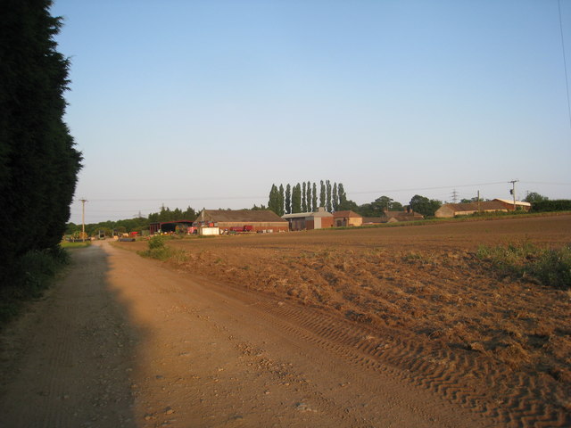
Image: © Jonathan Thacker Taken: 26 Jun 2010
The older buildings higher on the slope are in this grid square but the majority of the buildings are in the next grid square east.
Images are licensed for reuse under creativecommons.org/licenses/by-sa/2.0
Image Location


Leaflet Map data © OpenStreetMap
Latitude
53.603356
Longitude
-0.582121