Ropeyard barn conversion
Introduction
The photograph on this page of Ropeyard barn conversion by Natasha Ceridwen de Chroustchoff as part of the Geograph project.
The Geograph project started in 2005 with the aim of publishing, organising and preserving representative images for every square kilometre of Great Britain, Ireland and the Isle of Man.

There are currently over 7.5m images from over 14,400 individuals and you can help contribute to the project by visiting https://www.geograph.org.uk
Ropeyard barn conversion
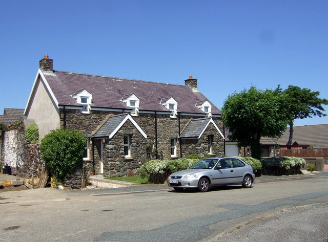
Image: © Natasha Ceridwen de Chroustchoff Taken: 24 Jun 2010
Two cottages have been created from this old barn in the part of the town still called Ropeyard: a remnant of the past in an otherwise modern residential area.
Images are licensed for reuse under creativecommons.org/licenses/by-sa/2.0
Image Location
Latitude
51.992259
Longitude
-4.983484