The Clay Road near Banbridge (4)
Introduction
The photograph on this page of The Clay Road near Banbridge (4) by Albert Bridge as part of the Geograph project.
The Geograph project started in 2005 with the aim of publishing, organising and preserving representative images for every square kilometre of Great Britain, Ireland and the Isle of Man.

There are currently over 7.5m images from over 14,400 individuals and you can help contribute to the project by visiting https://www.geograph.org.uk
The Clay Road near Banbridge (4)
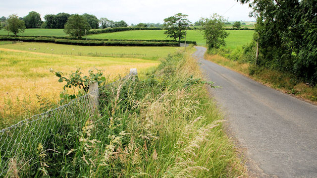
Image: © Albert Bridge Taken: 26 Jun 2010
The view in the general direction of the Loughbrickland from the Banbridge – Rathfriland road. In the background the road bends sharply to the left before heading off through the drumlins of west Down.
Images are licensed for reuse under creativecommons.org/licenses/by-sa/2.0
Image Location
Latitude
54.329033
Longitude
-6.242123