Ballievey Road sign near Banbridge
Introduction
The photograph on this page of Ballievey Road sign near Banbridge by Albert Bridge as part of the Geograph project.
The Geograph project started in 2005 with the aim of publishing, organising and preserving representative images for every square kilometre of Great Britain, Ireland and the Isle of Man.

There are currently over 7.5m images from over 14,400 individuals and you can help contribute to the project by visiting https://www.geograph.org.uk
Ballievey Road sign near Banbridge
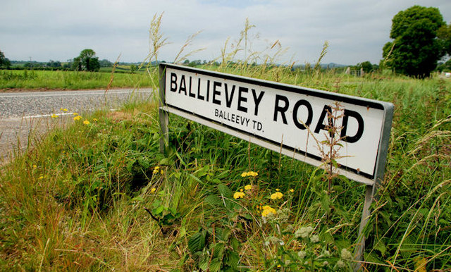
Image: © Albert Bridge Taken: 26 Jun 2010
See Image The sign at the Rathfriland Road end showing the different spellings for the road and townland. Other spellings include “Ballyivee” (1609), “Beleeve” (1623), “Ballyivy” (1659) and “Bally-vey” (1810).
Images are licensed for reuse under creativecommons.org/licenses/by-sa/2.0
Image Location
Latitude
54.329556
Longitude
-6.241025