Ion Bridge, Lower Gravenhurst, Beds
Introduction
The photograph on this page of Ion Bridge, Lower Gravenhurst, Beds by Rodney Burton as part of the Geograph project.
The Geograph project started in 2005 with the aim of publishing, organising and preserving representative images for every square kilometre of Great Britain, Ireland and the Isle of Man.

There are currently over 7.5m images from over 14,400 individuals and you can help contribute to the project by visiting https://www.geograph.org.uk
Ion Bridge, Lower Gravenhurst, Beds
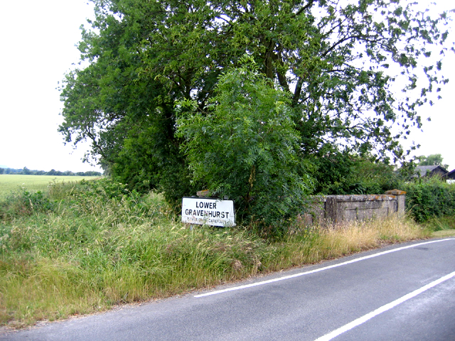
Image: © Rodney Burton Taken: 27 Jun 2006
Not named as such on maps, but near Ion Bridge Farm; the stream the concrete bridge crosses joins the River Ivel at Shefford.
Images are licensed for reuse under creativecommons.org/licenses/by-sa/2.0
Image Location


Leaflet Map data © OpenStreetMap
Latitude
51.991925
Longitude
-0.384667