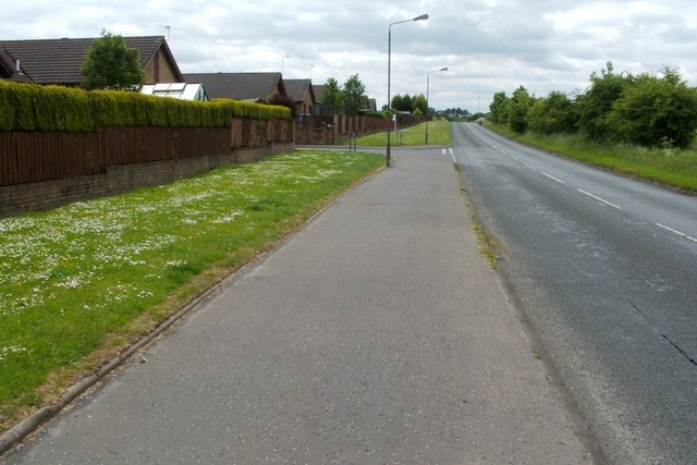
Reilly Road
Introduction
The photograph on this page of Reilly Road by Lairich Rig as part of the Geograph project.
The Geograph project started in 2005 with the aim of publishing, organising and preserving representative images for every square kilometre of Great Britain, Ireland and the Isle of Man.
There are currently over 7.5m images from over 14,400 individuals and you can help contribute to the project by visiting https://www.geograph.org.uk

Image: © Lairich Rig Taken: 14 Jun 2010
The photograph was taken near the spot where Image was taken, but is a view in the opposite direction. A road can be seen branching off to the left, leading into an area of housing called Reilly Gardens. At that point, some plaques can be seen on the wall (although they are not visible in the photograph). One simply bears the name "Reilly Gardens", but another one located just above it explains the name, as follows: "This development is dedicated to Dr. Thomas Reilly, M.C., K.St.J., M.B., Ch.B., born 29th July 1906 the son of a Greenhill stationmaster in recognition of his service to his country and community." [Another plaque notes that these plaques were unveiled in 1996 by the Provost of Falkirk Council.]

