Ouzel Brook, Stanbridgeford
Introduction
The photograph on this page of Ouzel Brook, Stanbridgeford by Rob Farrow as part of the Geograph project.
The Geograph project started in 2005 with the aim of publishing, organising and preserving representative images for every square kilometre of Great Britain, Ireland and the Isle of Man.

There are currently over 7.5m images from over 14,400 individuals and you can help contribute to the project by visiting https://www.geograph.org.uk
Ouzel Brook, Stanbridgeford
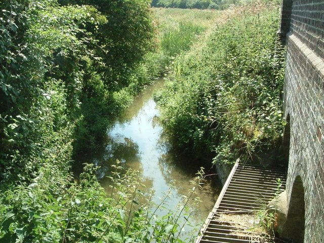
Image: © Rob Farrow Taken: 29 Jun 2006
The Ouzel Brook seen here joins the River Ouzel (which is not much bigger) near The Rye. This photo just sneaks into this square - the bridge being bisected by the gridline.
Images are licensed for reuse under creativecommons.org/licenses/by-sa/2.0
Image Location
Latitude
51.897561
Longitude
-0.591386