Sixpenny Handley, fingerpost
Introduction
The photograph on this page of Sixpenny Handley, fingerpost by Mike Faherty as part of the Geograph project.
The Geograph project started in 2005 with the aim of publishing, organising and preserving representative images for every square kilometre of Great Britain, Ireland and the Isle of Man.

There are currently over 7.5m images from over 14,400 individuals and you can help contribute to the project by visiting https://www.geograph.org.uk
Sixpenny Handley, fingerpost
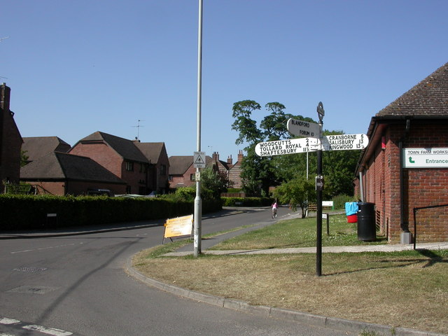
Image: © Mike Faherty Taken: 26 Jun 2010
One of two in the village; see also Image This one is at the bottom of High Street, at the junction with Dean Lane (seen here). Giving county name, location (written as 6D Handley), and grid reference (000171), which is not quite correct, according to my GPS; if not rounded up, it should read 999170.
Images are licensed for reuse under creativecommons.org/licenses/by-sa/2.0
Image Location
Latitude
50.953061
Longitude
-2.001515