Llys-y-Fr?n Country Park
Introduction
The photograph on this page of Llys-y-Fr?n Country Park by Robin Drayton as part of the Geograph project.
The Geograph project started in 2005 with the aim of publishing, organising and preserving representative images for every square kilometre of Great Britain, Ireland and the Isle of Man.

There are currently over 7.5m images from over 14,400 individuals and you can help contribute to the project by visiting https://www.geograph.org.uk
Llys-y-Fr?n Country Park
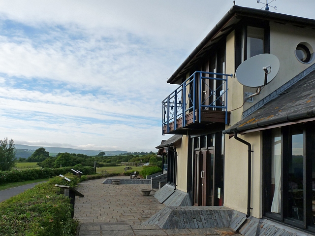
Image: © Robin Drayton Taken: 18 Jun 2010
An evening view of the terrace with information boards at the front of the visitor centre.
Images are licensed for reuse under creativecommons.org/licenses/by-sa/2.0
Image Location
Latitude
51.883355
Longitude
-4.848954