The grounds of RHI Refractories
Introduction
The photograph on this page of The grounds of RHI Refractories by Lairich Rig as part of the Geograph project.
The Geograph project started in 2005 with the aim of publishing, organising and preserving representative images for every square kilometre of Great Britain, Ireland and the Isle of Man.

There are currently over 7.5m images from over 14,400 individuals and you can help contribute to the project by visiting https://www.geograph.org.uk
The grounds of RHI Refractories
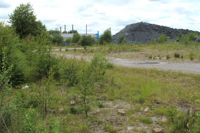
Image: © Lairich Rig Taken: 14 Jun 2010
The photograph was taken from Bonnyside Road. The area shown here has been occupied by more or less the same kind of industry for over a century. Although the first-edition OS map (c.1864) shows the area as clear of buildings, it was, by 1899, occupied by Bonnyside Brick Works (called Bonnyside Fire Brick Works on later maps). The abundance of clay in this area was an important reason for establishing the industry here. From the mid-1960s, the site was occupied by Dyson Refractories. Alongside the section of Bonnyside Road from which the photograph was taken, some old gates bearing a large initial "D" are visible, reflecting this period of ownership. When this picture was taken, the site was occupied by RHI Refractories UK Ltd.
Images are licensed for reuse under creativecommons.org/licenses/by-sa/2.0
Image Location
Latitude
55.992169
Longitude
-3.871144