All Saints' church, Upper Stondon, Beds
Introduction
The photograph on this page of All Saints' church, Upper Stondon, Beds by Rodney Burton as part of the Geograph project.
The Geograph project started in 2005 with the aim of publishing, organising and preserving representative images for every square kilometre of Great Britain, Ireland and the Isle of Man.

There are currently over 7.5m images from over 14,400 individuals and you can help contribute to the project by visiting https://www.geograph.org.uk
All Saints' church, Upper Stondon, Beds
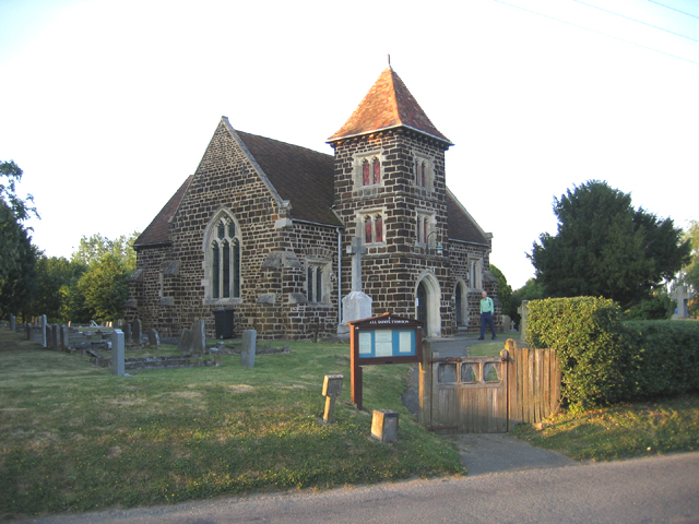
Image: © Rodney Burton Taken: 28 Jun 2006
re-erected in 1857, chiefly by subscription of the landed proprietors of the parish and the adjoining hamlet of Lower Stondon, and is a building of sandstone in the Decorated style. http://www.genuki.org.uk/big/eng/BDF/UpperStondon/index.html
Images are licensed for reuse under creativecommons.org/licenses/by-sa/2.0
Image Location
Latitude
52.00648
Longitude
-0.325864