Walkway leading from SUDS pond
Introduction
The photograph on this page of Walkway leading from SUDS pond by Lairich Rig as part of the Geograph project.
The Geograph project started in 2005 with the aim of publishing, organising and preserving representative images for every square kilometre of Great Britain, Ireland and the Isle of Man.

There are currently over 7.5m images from over 14,400 individuals and you can help contribute to the project by visiting https://www.geograph.org.uk
Walkway leading from SUDS pond
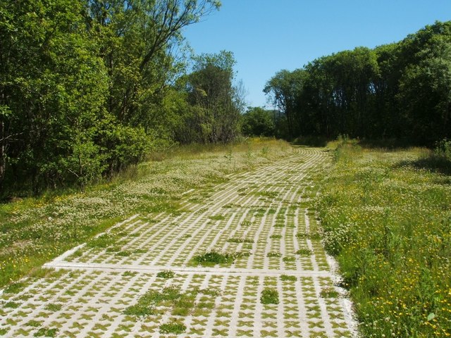
Image: © Lairich Rig Taken: 17 Jun 2010
The walkway leads from a Image, and is made of the same material as Image It leads towards the site of the Lomondgate development. Compare Image A later picture corresponds almost exactly with the present view, except that the trees to the left have been cleared, greatly altering the appearance of the area: Image
Images are licensed for reuse under creativecommons.org/licenses/by-sa/2.0
Image Location
Latitude
55.956663
Longitude
-4.569666