Orchard north of Gurrington House
Introduction
The photograph on this page of Orchard north of Gurrington House by Robin Stott as part of the Geograph project.
The Geograph project started in 2005 with the aim of publishing, organising and preserving representative images for every square kilometre of Great Britain, Ireland and the Isle of Man.

There are currently over 7.5m images from over 14,400 individuals and you can help contribute to the project by visiting https://www.geograph.org.uk
Orchard north of Gurrington House
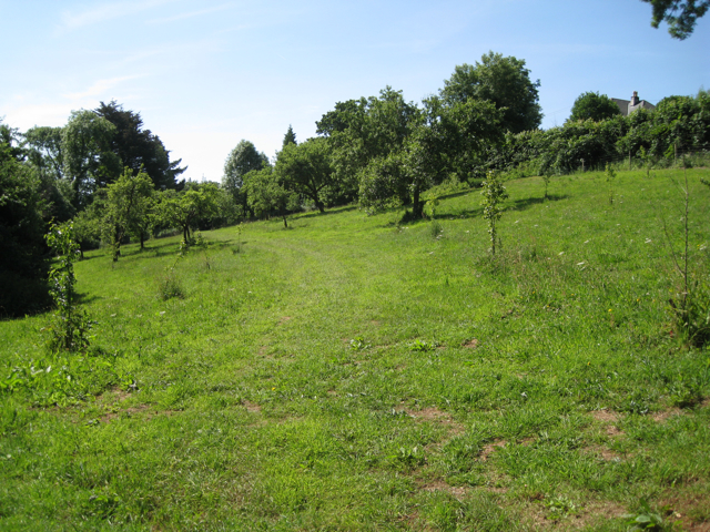
Image: © Robin Stott Taken: 21 Jun 2010
It has a mix of old and young trees, like the one at Waye Farm Image Are orchards making a comeback?
Images are licensed for reuse under creativecommons.org/licenses/by-sa/2.0
Image Location
Latitude
50.509886
Longitude
-3.719117