Albert Row
Introduction
The photograph on this page of Albert Row by Martin Addison as part of the Geograph project.
The Geograph project started in 2005 with the aim of publishing, organising and preserving representative images for every square kilometre of Great Britain, Ireland and the Isle of Man.

There are currently over 7.5m images from over 14,400 individuals and you can help contribute to the project by visiting https://www.geograph.org.uk
Albert Row
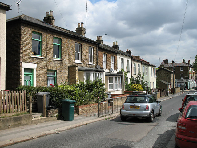
Image: © Martin Addison Taken: 23 Jun 2006
Terraced houses on Church Lane. The two houses with bay windows have recently been converted from shops, the fronts of which extended forward to the pavement.
Images are licensed for reuse under creativecommons.org/licenses/by-sa/2.0
Image Location
Latitude
51.593698
Longitude
-0.171591