The Comber Road near Killyleagh
Introduction
The photograph on this page of The Comber Road near Killyleagh by Albert Bridge as part of the Geograph project.
The Geograph project started in 2005 with the aim of publishing, organising and preserving representative images for every square kilometre of Great Britain, Ireland and the Isle of Man.

There are currently over 7.5m images from over 14,400 individuals and you can help contribute to the project by visiting https://www.geograph.org.uk
The Comber Road near Killyleagh
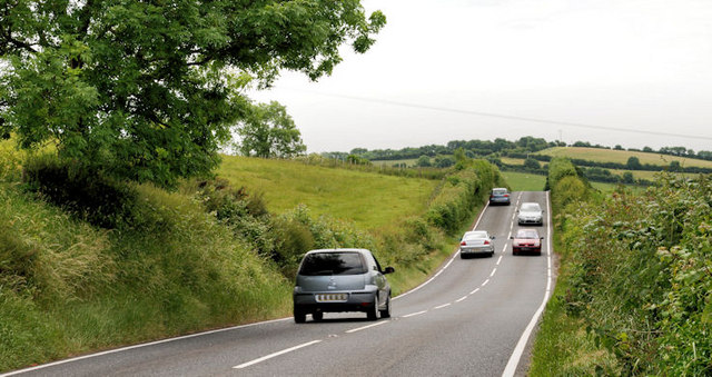
Image: © Albert Bridge Taken: 25 Jun 2010
See Image The Comber Road, from the same spot but looking towards Killyleagh. Drumlins make up most of the background.
Images are licensed for reuse under creativecommons.org/licenses/by-sa/2.0
Image Location
Latitude
54.434513
Longitude
-5.659616