Island Dam
Introduction
The photograph on this page of Island Dam by Gary Rogers as part of the Geograph project.
The Geograph project started in 2005 with the aim of publishing, organising and preserving representative images for every square kilometre of Great Britain, Ireland and the Isle of Man.

There are currently over 7.5m images from over 14,400 individuals and you can help contribute to the project by visiting https://www.geograph.org.uk
Island Dam
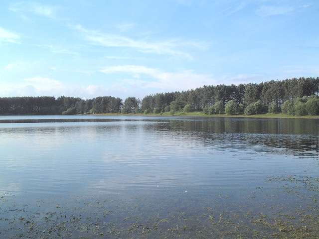
Image: © Gary Rogers Taken: 16 Jun 2005
The locals call the lake in the north west of this grid square Island Dam but the modern OS map doesn't show its name. Its interesting that the 1940's OS map shows an island towards the north end of the lake which is no longer there. An older 1849 map shows the area as marshy and liable to flooding and shows the name Island Dam but not a distinct lake. It seems the water level has risen over the years. http://www.old-maps.co.uk/
Images are licensed for reuse under creativecommons.org/licenses/by-sa/2.0
Image Location


Leaflet Map data © OpenStreetMap
Latitude
53.508206
Longitude
-2.687524