Lower Buckhaven, towards Harbour
Introduction
The photograph on this page of Lower Buckhaven, towards Harbour by Ben Brooksbank as part of the Geograph project.
The Geograph project started in 2005 with the aim of publishing, organising and preserving representative images for every square kilometre of Great Britain, Ireland and the Isle of Man.

There are currently over 7.5m images from over 14,400 individuals and you can help contribute to the project by visiting https://www.geograph.org.uk
Lower Buckhaven, towards Harbour
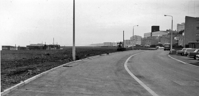
Image: © Ben Brooksbank Taken: 18 Sep 1974
View SW on Shore Street, towards Buckhaven Harbour, the River Forth being over to the left. [This scene had been described as (probable) site of former Buckhaven station, but this was wrong, the station (on the Methil branch, closed 1/55, goods 12/64) having been some way away to the west].
Images are licensed for reuse under creativecommons.org/licenses/by-sa/2.0
Image Location
Latitude
56.170352
Longitude
-3.030676