Road and rail viewed from Cwm footbridge
Introduction
The photograph on this page of Road and rail viewed from Cwm footbridge by Jaggery as part of the Geograph project.
The Geograph project started in 2005 with the aim of publishing, organising and preserving representative images for every square kilometre of Great Britain, Ireland and the Isle of Man.

There are currently over 7.5m images from over 14,400 individuals and you can help contribute to the project by visiting https://www.geograph.org.uk
Road and rail viewed from Cwm footbridge
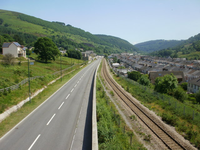
Image: © Jaggery Taken: 23 Jun 2010
At the eastern end of the narrow Ebbw river valley, the A4046 heads southeastwards alongside the single-track Ebbw Valley line. There is no railway station in Cwm : the next one is this direction is several kilometres distant, in Llanhilleth.
Images are licensed for reuse under creativecommons.org/licenses/by-sa/2.0
Image Location
Latitude
51.740455
Longitude
-3.181743