Ty-Brachty Terrace
Introduction
The photograph on this page of Ty-Brachty Terrace by Jaggery as part of the Geograph project.
The Geograph project started in 2005 with the aim of publishing, organising and preserving representative images for every square kilometre of Great Britain, Ireland and the Isle of Man.

There are currently over 7.5m images from over 14,400 individuals and you can help contribute to the project by visiting https://www.geograph.org.uk
Ty-Brachty Terrace
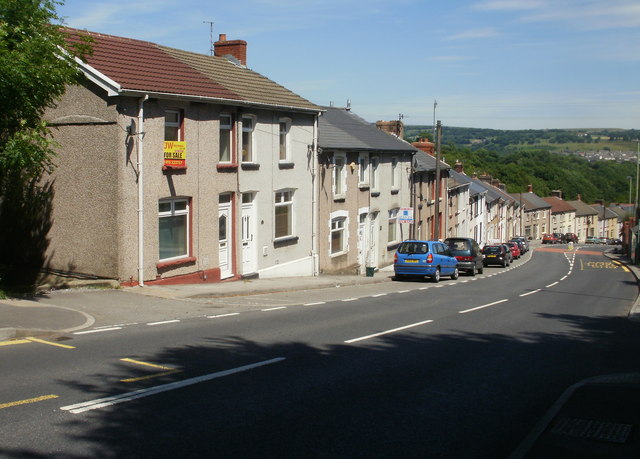
Image: © Jaggery Taken: 23 Jun 2010
A long line of terraced houses named Ty-Brachty Terrace descends Kendon Road (B4251) in the direction of Crumlin. It's unclear from maps whether this is the northern edge of Croespenmaen or the southern edge of Kendon.
Images are licensed for reuse under creativecommons.org/licenses/by-sa/2.0
Image Location
Latitude
51.681328
Longitude
-3.159953