Level crossing at Miltonrigg
Introduction
The photograph on this page of Level crossing at Miltonrigg by Oliver Dixon as part of the Geograph project.
The Geograph project started in 2005 with the aim of publishing, organising and preserving representative images for every square kilometre of Great Britain, Ireland and the Isle of Man.

There are currently over 7.5m images from over 14,400 individuals and you can help contribute to the project by visiting https://www.geograph.org.uk
Level crossing at Miltonrigg
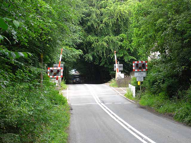
Image: © Oliver Dixon Taken: 24 Jun 2010
The road which forms a short cut between the A689 and the A69 here crosses the Carlisle to Newcastle line - just one of many level crossings on this line. Beyond the crossing the road enters a dark tunnel formed by the trees of Miltonrigg Woods.
Images are licensed for reuse under creativecommons.org/licenses/by-sa/2.0
Image Location
Latitude
54.947504
Longitude
-2.680807