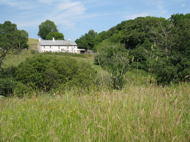
Hawkes Farm
Introduction
The photograph on this page of Hawkes Farm by Robin Stott as part of the Geograph project.
The Geograph project started in 2005 with the aim of publishing, organising and preserving representative images for every square kilometre of Great Britain, Ireland and the Isle of Man.
There are currently over 7.5m images from over 14,400 individuals and you can help contribute to the project by visiting https://www.geograph.org.uk

Image: © Robin Stott Taken: 22 Jun 2010
It is difficult to reconcile this rather idyllic view with aerial photos, which show a large area of bare ground alongside what looks like a building site. One explanation would be that an extensive range of farm buildings has been demolished and the ground cleared while the farmhouse or farm cottages have been modernised, reroofed and extended at the back. This would square with the remark by the farmer at Wickeridge Farm that they had taken over some Hawkes Farm land Image

