Stream garden, Higher Lake Farm
Introduction
The photograph on this page of Stream garden, Higher Lake Farm by Robin Stott as part of the Geograph project.
The Geograph project started in 2005 with the aim of publishing, organising and preserving representative images for every square kilometre of Great Britain, Ireland and the Isle of Man.

There are currently over 7.5m images from over 14,400 individuals and you can help contribute to the project by visiting https://www.geograph.org.uk
Stream garden, Higher Lake Farm
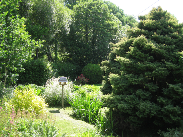
Image: © Robin Stott Taken: 22 Jun 2010
The stream runs down from the valley to the north Image (it's not shown on the 1:50,000 map). OS Explorer shows a chain of ponds continuing down the valley from Higher Lake Farm to Higher Lake Image South Devon's climate and topography create very favourable conditions for domestic gardens. Everywhere, especially in remote valleys, householders create lush, intimate versions of paradise amid the large-scale landscape of farmed and forested whaleback hills.
Images are licensed for reuse under creativecommons.org/licenses/by-sa/2.0
Image Location
Latitude
50.510639
Longitude
-3.729017